22 DecCVE Aerial Photos
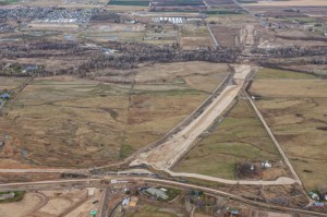
The first photograph looks north along the SH-16 alignment from the Phyllis Canal/Joplin Road area toward the Boise River Bridge and SH-44 in the distance. November 29th, 2012
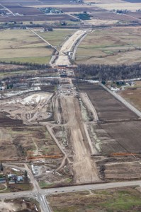
The second photograph looks south from SH-44 at the SH-16 alignment showing the Boise River Crossing and Phyllis Canal in the distance. November 29th, 2012
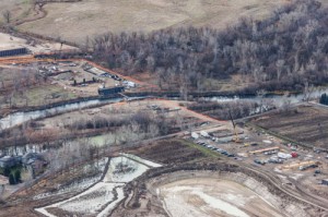
The third photograph shows a close-up of the Boise River Crossing with the north end of the bridge to the lower right corner of the photograph and the south end in the upper left part of the photo. November 29th, 2012
The plan is to begin setting girders over the Boise River on January 7th, 2013. The girders are massive…each girder is seven feet tall and 157 feet wide.


